- JOURNEY TO BERGÜN FILISUR:
The journey to Bergün Filisur is possible by train and by road via the normal routes. 
The Albula Pass is open.
Current information on closures at: www.strassen.gr.ch 

- TRAIL CLOSURES: 

- Hiking trail Zügenstrasse from Davos Schmelzboden to Davos Wiesen Station
- Jenisberg hiking trail via Müliwald/Chüealptobel into the Zügen Gorge
- Road Filisur-Alp Prosot/Sela is closed until further notice due to falling rocks. Notice diversion.
- All closures will remain in place until further notice.
The hiking trail from Jenisberg to Davos Wiesen Station will follow the road.

Update: 26th May 2023


35.13 Walserweg Graubünden Etappe 13: Filisur - Monstein
Medium
12.5 km
4:45 h
1000 mhd
400 mhd
img_4kq_ccgfgaba
img_4kq_ccgfahij

Show all 9 images

img_4kq_ccgfahja
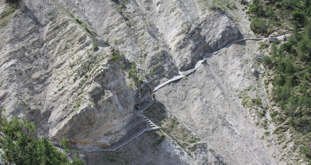
Spectacular views and pure adventure.
Technique 3/6
Fitness 3/6
Highest Point  1758 m
Lowest Point  1031 m
Best Season
Jan
Feb
Mär
Apr
Mai
Jun
Jul
Aug
Sep
Okt
Nov
Dez
Start
Filisur
Destination
Monstein
Coordinates
46.673473, 9.686314

Details

Description

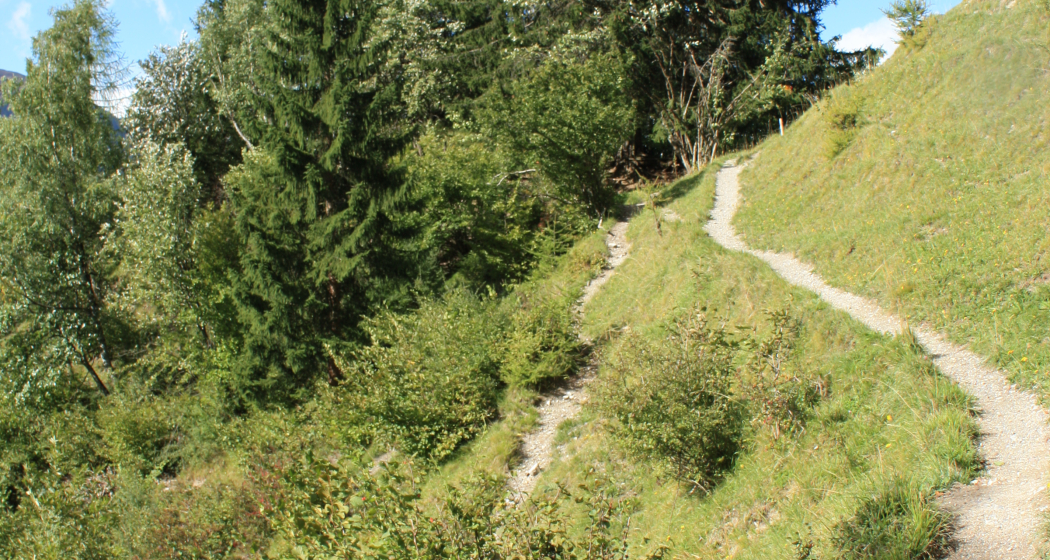
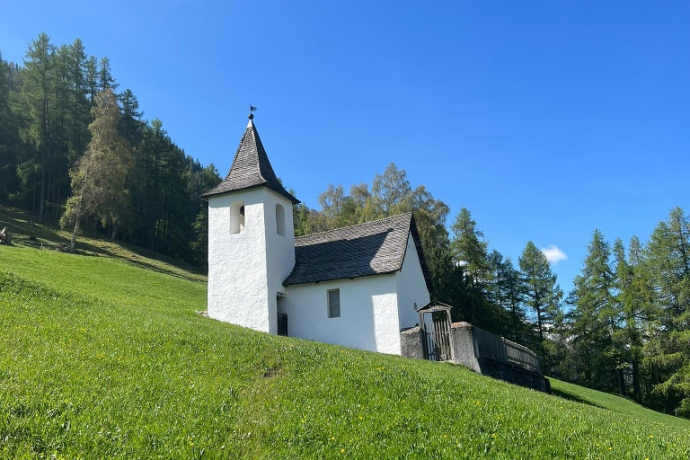
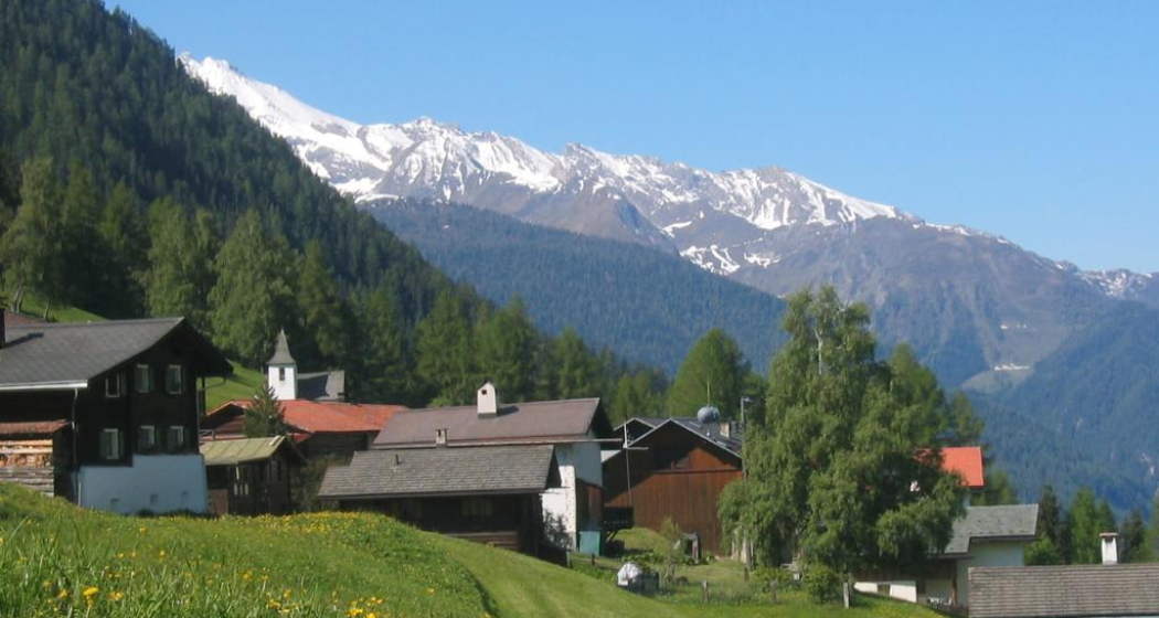
Round-timber construction in Monstein and on Oberalp. Across the pastureland of the former «Meder» (hay meadows) on Fanezfurgga. The trail leads through the fossil-rich Ducan area, to the waterfall and Sertig village. «Hinter den Eggen» Church dating from 1699.

Geheimtipp

Hiking without luggage with 5 overnight stays from Filisur to Langwies: CHF 849 in double room with half board, luggage transport between the stages, packed lunch, the book "Walserweg Graubünden", travel documentation.

Information at www.walserweg.ch

or

3 nights with half board: Hikes on the stages Filisur - Monstein - Sertig - Davos for CHF 545 in a double room with half board, incl. 3 x luggage transport between the stages, 3 x packed lunch, the book "Walserweg Graubünden", travel documentation.

Information at www.walserweg.ch

Ausrüstung

Mountain boots and daypack.

Directions

The exact directions can be found in the book "Walserweg Graubünden", Rotpunktverlag. The route is indicated throughout with route number 35. However, description and signaling do not replace a hiking map.

Responsible for this content Grisons holidays.
This content has been translated automatically.

Outdooractive Logo

This website uses technology and content from the Outdooractive platform.