
 Events
 Webcams
 Webshop
 Weather
 Vouchers
Parc Ela Trek Stage 11: Preda - F. Gualdauna - Chamanna d'Es-cha
Show all 9 images
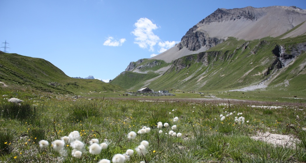
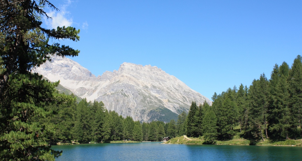
The silence of Lai da Palpuogna, the turquoise of Lais digl Crap Alv, the source of the Albula, the signature of the glaciers, and a view of Piz Bernina, the highest peak in Graubünden.
Details
Description
From Preda, the path leads to the crystal-clear Lai da Palpuogna, in the midst of a larch forest. Along the young Albula, at the edge of the Crap Alv/Ervedi natural forest reserve, we hike up to Alp Weissenstein. ETH Zurich, which has owned the alp since 1967, conducts research here on alpine farming. Until the Albula Tunnel opened (1903), the alp served as a shelter. Right on the hiking trail, the Albula springs from a porous dolomite rock (rauhwacke). The view falls on the Igls Plans plain, where peat was extracted around 1860, until the former lakebed was drained in 1944 by Polish internees and turned into meadowland. In the turquoise “Lais digl Crap Alv,” the freshwater holes are clearly visible, providing a constant supply. Up to the Albula pass height, we follow an old trail. Over alpine pastures, we hike to Punt Granda and up to Fuorcla Gualdauna, with a magnificent view of the Bernina massif. At 2500 m, we continue easily to Chamona d'Es-cha.


Responsible for this content Verein Parc Ela.

This website uses technology and content from the Outdooractive platform.